


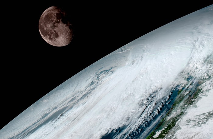
NASA just released the most incredible and detailed pictures of our planet that are sure to give your Thursday a little bit of awe and wonder.
The photos come from the National Oceanic and Atmospheric Administration’s (NOAA) new GOES-16 satellite, which according to the NOAA, “provide a full image of Earth every 15 minutes and one of the continental U.S. every five minutes.” Whoa.
The photos are not only gorgeous but they have become an innovation to spot more accurate weather patterns. As the director of the NOAA’s Satellite and Information Service, Dr. Stephen Volz pointed out,
“These images come from the most sophisticated technology ever flown in space to predict severe weather on Earth. The fantastically rich images provide us with our first glimpse of the impact GOES-16 will have on developing life-saving forecasts.”
The full gallery of images was released on Monday.